Maps and location 279
Getting around maps
When you open Google Maps, you can easily find your location on the
map or check out nearby places by panning and zooming in and out
on the map.
To find your location with Google Maps, you need to enable location
sources. See “Turning on location services” in this chapter to learn
how.
Press HOME , and then tap > Maps.
Tap to show your current location. The blue marker shows
your location on the map.
Do any of the following on the map:
Move around Swipe your finger to any direction on the screen to
view nearby places on the map.
Zoom in Place your thumb and index fingers on top of the
area that you want to zoom in, and then spread
your fingers across the map.
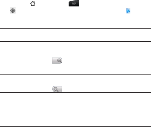
Tap .
Double-tap the area on the map that you want to
zoom in.
Zoom out Pinch your thumb and index finger on the map to
zoom out.
Tap .
View
information
for a random
location
1. Press and hold a location on the map. A balloon
opens over the location, with the address and a
thumbnail from street view (if available).
2. Tap the balloon to see more information.
You can get directions to the location, check for
nearby places of interest, and more.
1.
2.
3.